Find the ground worth checking
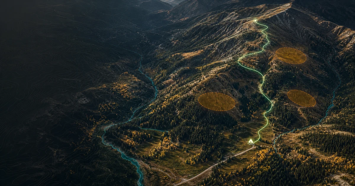
Auditable elk-use rankings combine road refuge, canopy, terrain, mapped seasonal use, access pressure, and cover edge.
Turn elk-use evidence, terrain, access, water, and wind into a route you can actually execute when daylight and options run thin.
Ridgeline keeps the evidence visible, then gets out of the way while you build the route.
Auditable elk-use rankings combine road refuge, canopy, terrain, mapped seasonal use, access pressure, and cover edge.
Build an ordered plan with camps, glassing points, water, bivies, rests, marks, and complete ridge-running fan-outs.
Compare forecast or prevailing wind against every route leg, with terrain, time, climb, water, and ownership warnings.
Export interoperable route files or compose a field-ready paper map in color, black and white, or ink-saving outline mode.
Start from any waypoint and generate multiple ridge-biased approaches. Favor water when it matters, inspect the wind, hover to compare, and keep a complete segment inside your ordered route.
Planning-first data stages show exactly what is usable and what is still arriving.
GPX, KML, GeoJSON, CSV, and lossless Ridgeline backup files.
Compose common paper sizes without sacrificing routes, marks, scale, or legend.
Keep the route, wind, water, access, and evidence in the same place.